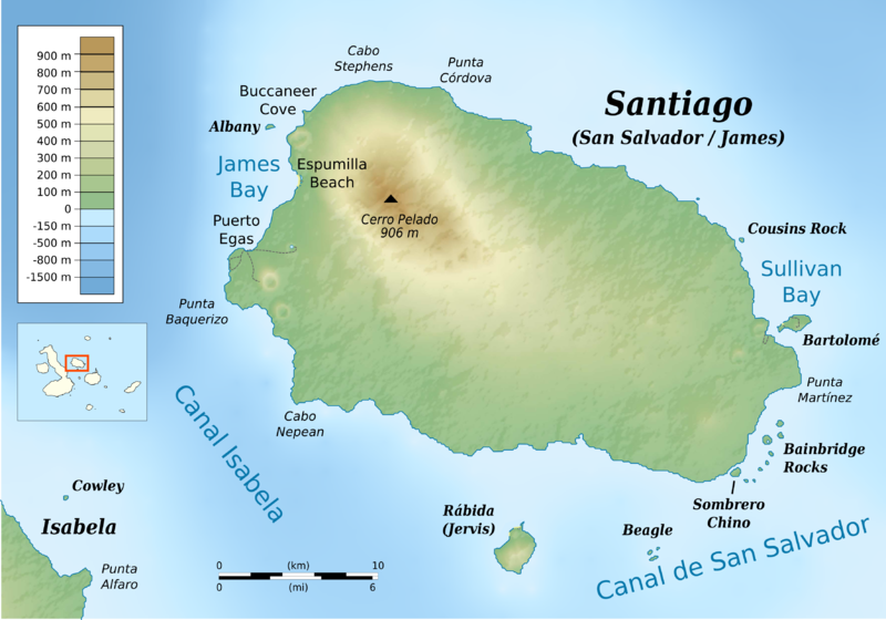
Datei:Santiago (Galapagos) topographic map-de.png

Größe dieser Vorschau: 800 × 560 Pixel. Weitere Auflösungen: 320 × 224 Pixel | 640 × 448 Pixel | 1.024 × 717 Pixel | 1.280 × 897 Pixel | 2.560 × 1.793 Pixel | 3.548 × 2.485 Pixel
Originaldatei (3.548 × 2.485 Pixel, Dateigröße: 1,51 MB, MIME-Typ: image/png)
Dateiversionen
Klicke auf einen Zeitpunkt, um diese Version zu laden.
| Version vom | Vorschaubild | Maße | Benutzer | Kommentar | |
|---|---|---|---|---|---|
| aktuell | 12:23, 23. Mai 2016 |  | 3.548 × 2.485 (1,51 MB) | Bamse | {{Information |Description ={{en|1=Topographic map of Santiago Island, Galápagos Islands}} cylindrical equidistant projection, central meridian -90° 45’, standard parallel 0° |Sour... |
Dateiverwendung
Die folgende Seite verwendet diese Datei:


