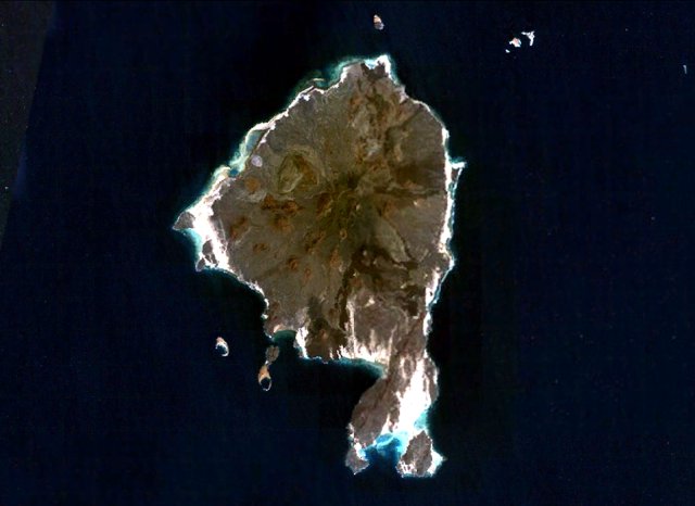
Datei:Zuqar.jpg
Zuqar.jpg (640 × 466 Pixel, Dateigröße: 36 KB, MIME-Typ: image/jpeg)
Dateiversionen
Klicke auf einen Zeitpunkt, um diese Version zu laden.
| Version vom | Vorschaubild | Maße | Benutzer | Kommentar | |
|---|---|---|---|---|---|
| aktuell | 22:25, 8. Okt. 2010 |  | 640 × 466 (36 KB) | Michael Metzger | {{Information |Description={{en|1=Zukur (Zugar), the northernmost large island of the Zukur-Hanish island group in the southern Red Sea, is seen in this NASA Landsat image (with north to the top). Numerous young basaltic pyroclastic cones and spatter cone |
Dateiverwendung
Die folgenden 2 Seiten verwenden diese Datei:
Globale Dateiverwendung
Die nachfolgenden anderen Wikis verwenden diese Datei:
- Verwendung auf ar.wiki.x.io
- Verwendung auf be.wiki.x.io
- Verwendung auf ceb.wiki.x.io
- Verwendung auf en.wiki.x.io
- Verwendung auf eo.wiki.x.io
- Verwendung auf es.wiki.x.io
- Verwendung auf fr.wiki.x.io
- Verwendung auf it.wiki.x.io
- Verwendung auf nn.wiki.x.io
- Verwendung auf pl.wiki.x.io
- Verwendung auf sk.wiki.x.io
- Verwendung auf www.wikidata.org
- Verwendung auf zh.wiki.x.io

