Parera Pond
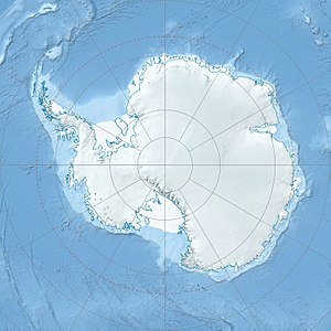
Der Parera Pond ist ein kleiner See im ostantarktischen Viktorialand. Im Taylor Valley liegt er 1,5 km südlich des Andrews Ridge.
| Parera Pond | ||
|---|---|---|
| Geographische Lage | Taylor Valley, Viktorialand, Ostantarktika | |
| Daten | ||
| Koordinaten | 77° 39′ 0″ S, 162° 55′ 0″ O | |
|
| ||
Das New Zealand Geographic Board benannte ihn 1998 nach der maorischen Bezeichnung für eine Augenbrauenente (Anas superciliosa).
Weblinks
Bearbeiten- Parera Pond. In: Geographic Names Information System. United States Geological Survey, United States Department of the Interior, archiviert vom (englisch).
- Parera Pond auf geographic.org (englisch)
